
Challenges We Address
For infrastructure diagnostics, it’s not about a point on a map, but the specific track and a reproducible location on it. Without unambiguous localization, measurement data from different runs cannot be compared.
Satellite Signal Loss
Tunnels, overhead structures, and narrow valleys weaken or interrupt the satellite signal.
Parallel Tracks Remain Open
A single coordinate alone does not differentiate parallel tracks in station and switch areas.
Measurement Errors Accumulate
Odometry and inertial sensors drift without reference points with every distance traveled.
Track geometry is directly integrated into position calculation
OpenTLS combines GNSS, IMU, odometer, and balise with the digital infrastructure model. Because the rail network is already incorporated into the calculation, the position remains stable and track-level precise even with limited satellite reception.

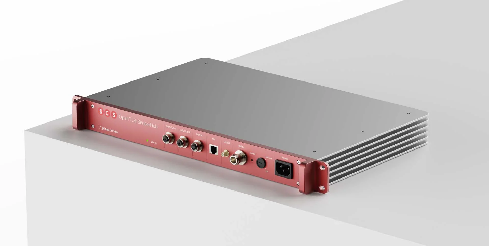
Same Sensor Technology, Two Form Factors
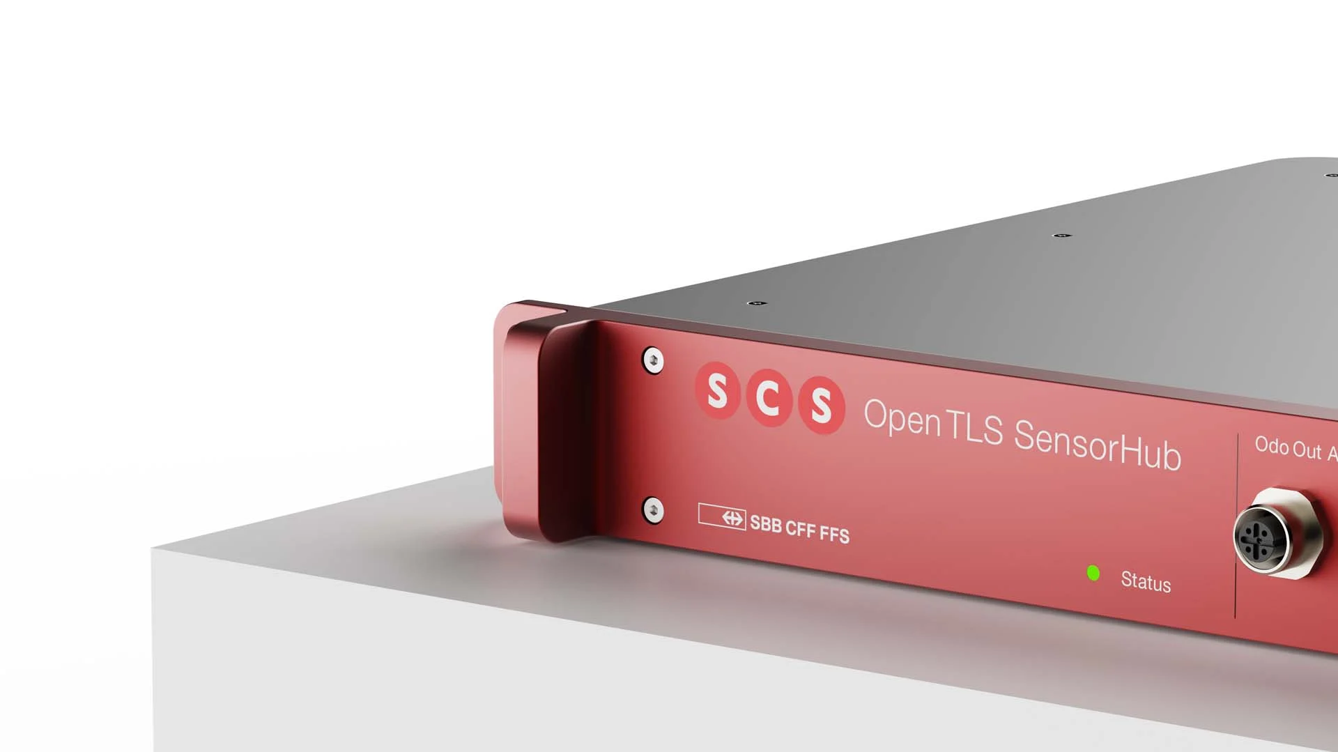
Rack and wall-mount versions feature identical sensor technology and connections. You choose the form factor that suits your installation situation.

So that measurement data remains comparable over years
Assign Measurements
Each measurement is reproducibly assigned to the same location in the network.
Detect Changes
Changes to tracks, switches, superstructure, and overhead lines are automatically detectable.
Plan Maintenance
Maintenance can be planned precisely, and resources deployed efficiently.
Questions about Deployment
Find the right form factor for your fleet
Track-level precise, reproducible position from every measurement run, in two form factors, open, and operational in SBB since 2023.
